|
|
Post by LibertyFever on Jul 26, 2008 16:59:57 GMT -5
I have a Garmin eTrex Legend GPS device that I bought for navigating the trails. It's capable of storing tracks & waypoints and can display topo maps on a small b&w display. For navigating the streets I bought a Garmin StreetPilot c330. On its a colour display it provide great street detail for the larger Cdn cities but didn't come with topo maps. Last night with a software program called Mapsource and an SD memory card in the StreetPilot I was able to install a topo map in it. 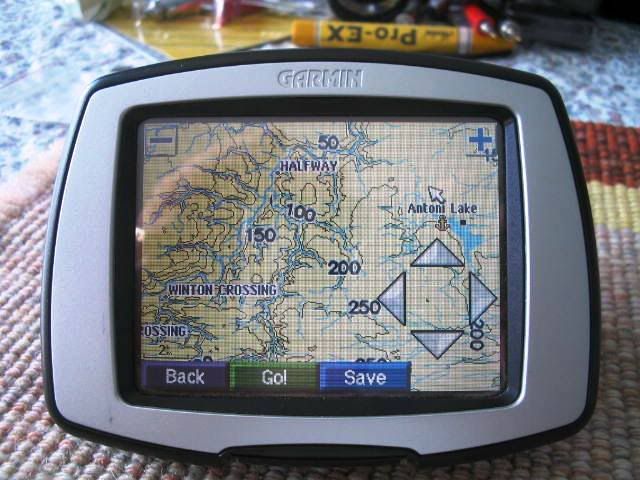 I'm not sure how useful it will be except to display a better quality colour map than my eTrex. Also I don't know if I can load the topo maps onto other GPS devices such as a Garmin nuvi but I'll try later this week. |
|